Hiking on the Costa Blanca — The Complete Guide
From the iconic Peñón de Ifach to the 1,558 m summit of Sierra de Aitana, the Costa Blanca is one of Europe's best year-round hiking destinations. Limestone ridges, pine forests, cliff trails above the sea, and a network of well-marked PR and GR routes — here's how to make the most of it.
From the iconic Peñón de Ifach to the 1,558 m summit of Sierra de Aitana, the Costa Blanca is one of Europe's best year-round hiking destinations. Limestone ridges, pine forests, cliff trails above the sea, and a network of well-marked PR and GR routes — here's how to make the most of it.
Why the Costa Blanca is a hiker's secret
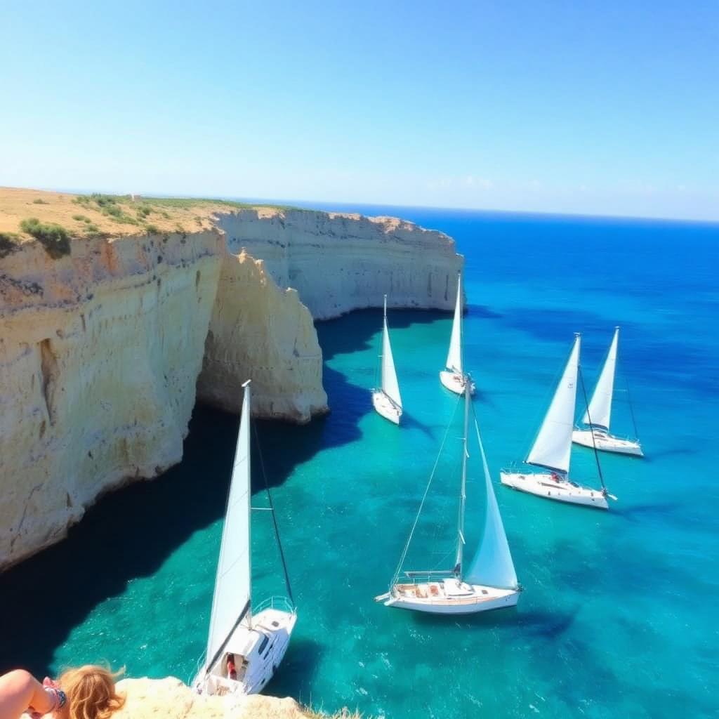
Most visitors picture beaches — but step 20 minutes inland and the landscape becomes startlingly mountainous. The Prebaetic ranges (Bernia, Aitana, Montgó, Puig Campana, Serrella, Aixortà) rise sharply from the coast, creating dramatic limestone ridges, deep barrancos and trails with both sea and mountain in the same view.
Hiking season is essentially year-round. October to May is prime: cool temperatures, dry trails, wildflowers in spring. Summer is too hot for serious ascents — limit yourself to dawn starts on the coastal trails. The trail network is well marked with the Spanish PR (Pequeño Recorrido, yellow/white) and GR (Gran Recorrido, red/white) waymarking standard.
The 8 essential hikes
| Trail | Distance | Ascent | Grade | Highlight |
|---|---|---|---|---|
| Peñón de Ifach (Calpe) | 4 km | 330 m | Moderate | Iconic rock summit, sea both sides |
| Montgó from Jávea | 9 km | 650 m | Hard | 753 m elephant's-head peak, two-province view |
| Sierra Bernia ridge & forat | 11 km | 700 m | Hard | Cave tunnel through the ridge to the north face |
| Puig Campana (double peak) | 12 km | 1,100 m | Very hard | 1,408 m signature peak above Benidorm |
| Aitana summit | 13 km | 750 m | Hard | Highest point in the Costa Blanca, 1,558 m |
| Serra Gelada coast traverse | 11 km | 350 m | Moderate | Cliff-edge trail Albir → Benidorm |
| Barranc del Infern (Vall d'Ebo) | 14 km | 950 m | Very hard | 6,800-step Mozarabic path through gorges |
| Faro de Albir | 5 km | 100 m | Easy | Flat clifftop walk to the lighthouse |
Choose by what you want
- ✦Family-friendly, flat: Faro de Albir, Les Fonts de l'Algar, Vía Verde del Maigmó
- ✦Half-day classic: Peñón de Ifach, Montgó from the Jesús Pobre side
- ✦Big mountain day: Aitana, Puig Campana, Serrella ridge
- ✦Coast with a view: Serra Gelada traverse, Cabo de la Nao circuit
- ✦Adventure / scrambling: Bernia Forat tunnel, Puig Campana NE ridge
- ✦Long-distance: GR-330 (Costa Blanca traverse), GR-7 European route
The single most memorable feature on any Costa Blanca hike — a 15-metre natural tunnel through the Bernia ridge that pops you out onto a balcony view of Altea and the sea. Requires a torch and a head for low ceilings.
Grades, season and safety
Three rules that matter on Costa Blanca limestone: carry at least 2 litres of water per person (no streams up high), wear proper hiking boots (the limestone is sharp and the trails are loose), and start at dawn for any summit between June and September — by 11:00 the rock is over 40°C.
| Grade | What to expect | Best season |
|---|---|---|
| Easy | Flat or gentle, marked path, < 3 hrs | Year-round |
| Moderate | 300–600 m ascent, some rocky steps, 3–5 hrs | Oct–May; early am in summer |
| Hard | 600–1,000 m ascent, exposure on ridges, 5–7 hrs | Oct–May only |
| Very hard | Long, technical, > 1,000 m or scrambling | Oct–May, settled weather |
Call 112 — the Guardia Civil mountain rescue (GREIM) covers the whole region and speaks English. Give them your route, the closest peak name and a GPS coordinate from your phone if possible.
Maps, apps and guidebooks
- ✦Wikiloc — the de facto trail app in Spain; download routes for offline use
- ✦OsmAnd or Gaia GPS — solid offline mapping with topo layers
- ✦Editorial Alpina 1:25,000 maps — Bernia/Aitana, Montgó, Puig Campana
- ✦Cicerone 'Walking on Spain's Costa Blanca' guidebook
- ✦The Tourist Info offices in Calpe, Jávea, Altea and Finestrat hand out free trail leaflets
Where to base yourself
Altea, Calpe and Finestrat are the best central bases — every classic peak (Bernia, Aitana, Puig Campana, Ifach) is within 30 minutes by car. Jávea suits Montgó and the Cabo de la Nao trails. For the wilder inland routes (Barranc del Infern, Vall de Gallinera, Serrella) stay in Castell de Castells, Pego or one of the Vall de Pop villages.
Related guides
Beaches
240 km of coastline, 80+ Blue Flag beaches.
Read guideHiking
Peñón de Ifach, Montgó, Sierra Bernia.
Read guideFood & wine
Paella, rice dishes and Alicante wine.
Read guideFamily
Theme parks, water parks, animals.
Read guideVillages
Most beautiful inland pueblos.
Read guideEvents
Fiestas calendar — month by month.
Read guideFrequently asked
Related guides
Need help moving to Spain?
Our local team helps with visas, NIE, healthcare, housing and more. One friendly point of contact for your whole relocation.